Eva Buto
Managing Editor
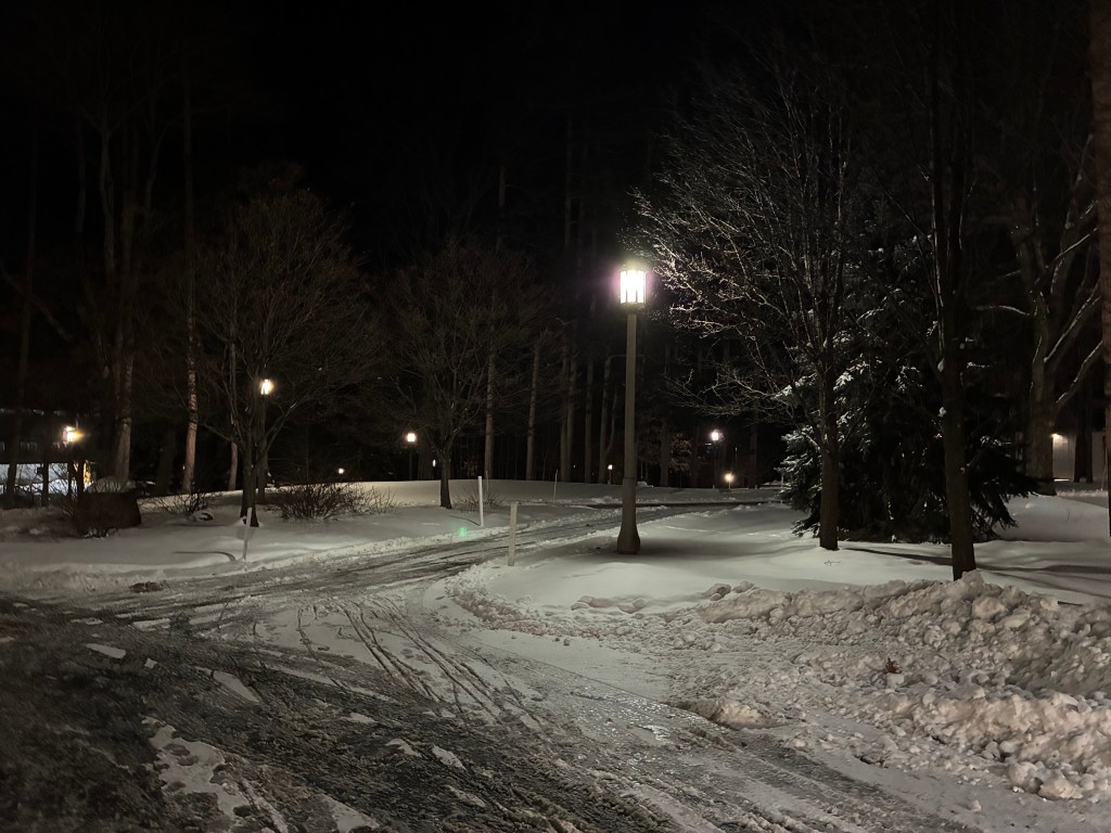
In Erie, Pennsylvania, a cold front is currently in full effect. The temperatures dip down into the negatives at night, with single digit temperatures during the day. There are wind gusts of up to 30 mph expected, blowing accumulated snow and significantly decreasing visibility. Between three and six inches of additional snow are expected this week.
The extreme weather has caused some disturbances to classes already, with temperatures expected to dip even lower later this week. Behrend Alerts sent out a warning on Jan. 20, telling students that classes will begin at 10 AM due to extreme cold. Students are advised to minimize time spent outdoors, pay attention to weather alerts, and dress appropriately in cold-weather attire when outside.
There are several factors contributing to the extreme weather expected this week. A major component that affects weather in the Great Lakes region is lake effect snow. Cold, dry air passes southbound over warm, unfrozen lake water. This water then evaporates and rises, forming narrow cloud bands that dump heavy snowfall on the shores. Since Erie is right next to its namesake lake, the city is a prime target for this phenomena.
The weather disturbances are unique however compared to what most native Erieites are expecting. Several feet of snow are not expected. Temperatures are expected to increase into the twenties and thirties Wednesday and Thursday. During Friday and the weekend, temperatures are expected to decrease to highs in the teens during the day to lows nearing zero during the night. Yet, the weather patterns remain unpredictable, so following all posted guidelines to remain warm is best.
One unpredictable factor in weather forecasts is snow squalls. Many people got a unique warning on their cell phones on Monday, Jan. 19 about the weather event. Snow squalls are caused by sudden cold front winds and are a unique winter phenomenon. They are similar to blizzards, but do not involve major snow accumulation and can come on much more suddenly, even within less than an hour between warning and weather event. The rapid winds are often over 30 mph, and they only last for approximately 30 to 60 minutes. The main risk of these storms is the resulting loss of visibility on the roads, causing hazardous and accident-prone conditions.
(Included Photograph By Amanda Ross)


Leave a comment